
IG Drones was founded in 2018 with the goal of providing enterprise drone solutions across India and revolutionising traditional industrial procedures with highly efficient drones. Drone surveying, mapping, and inspection services are provided by IG Drones in India and the neighbouring nations of Bangladesh, Bhutan, Nepal, and the Maldives. IG DRONES has been named India's Most Promising Drone Consultants and is currently India's premier drone service provider.


IG Drones is India’s top Drone survey company providing highly accurate & detailed GIS Survey, Topographic survey, Drone Inspection, Drone Mapping, Powerline Monitoring, Smart City Survey, Road Inspection & Survey, Mines Survey, Flood Assessment, Asset Monitoring, Solar Thermal Inspection, Security and Surveillance, Crop Health Monitoring, Volumetric Measurement, Drone 3D Mapping & Modelling, Aerial Photography & Videography and many more using advanced drone technology and providing meaningful data for businesses using the latest drone technology. Since 2018, IG Drones has been delivering high-quality drone survey and mapping services in Delhi (India) and other regions of Dhaka (Bangladesh), Thimphu (Bhutan), Kathmandu (Nepal), Male (Maldives).
Get in touch with IG DRONES to experience the India's best Drone Service Company first-hand
Contact Us!We have clients across India like – Department of Atomic Energy, Indian Railways, National Highway Authority of India(NHAI), Powergrid, Coal India, Delhi Integrated Multi-Modal Transit System (DIMTS) Ltd., Vadodara Smart City, Delhi Development Authority(DDA), Surat Metro, The Indian Council of Agricultural Research (ICAR), The World Bank, Reliance Power, Adani, Sekura, Indigrid, Transrail, Aditya Birla Hindalco, Aditya Birla Renewables, Indian Oil, Jakson, Creative Group, TRP Social Consultants, IL&FS, MCL, Humanitarian Aid International(HAI), HCL Foundation, Odisha Government, Works Dept(Govt. of Odisha), Odisha Mining Corporation(OMC), Odisha Construction Corporation(OCC), Odisha Bridge & Construction Corporation Limited (OB&CC) etc


.png)
.png)
.png)


At IG DRONES, we are always working on something new! We are proud of our latest work.
Some of our notable drone services across the industries include
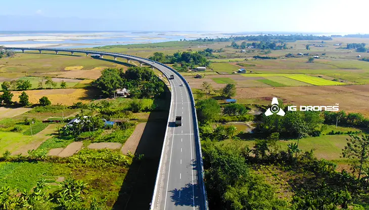
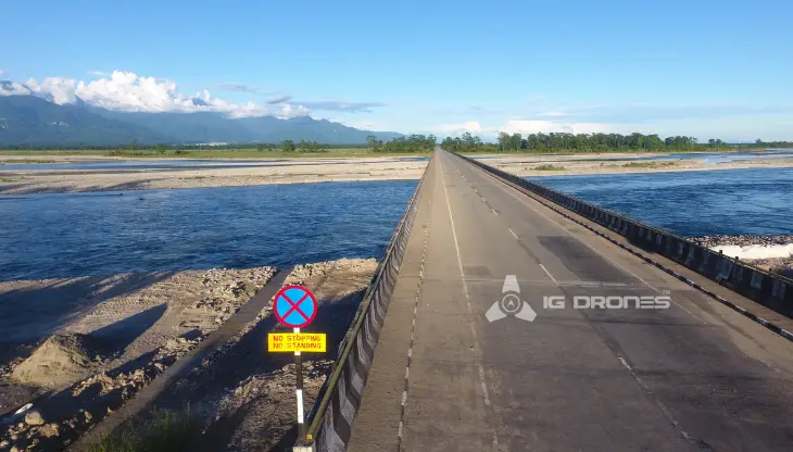
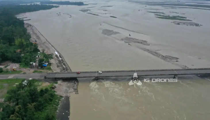
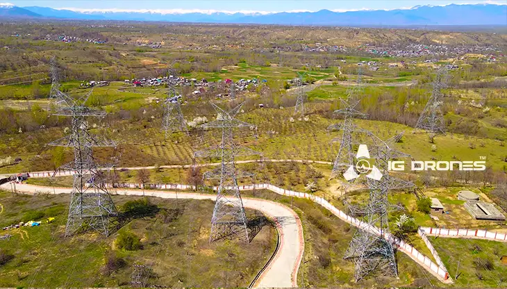
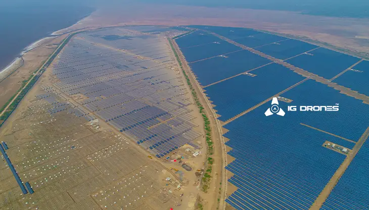
IG DRONES, India's #1 drone startup, uses breakthrough drone technology to provide an adaptive and scalable end-to-end solution. Our aerial survey, mapping, and inspection services have assisted the government and corporate sectors of the country in maintaining assets to their full potential. We offer a variety of services, including drone-based powerline monitoring, industrial inspection, bridge inspection, solar plant inspection, pipeline inspection, railway survey, smart city survey, road survey, mine survey, agricultural survey, forest & wildlife survey, disaster assessment, wind turbine blades inspection, port survey, buildings and skyscrapers inspection, and monuments inspection.
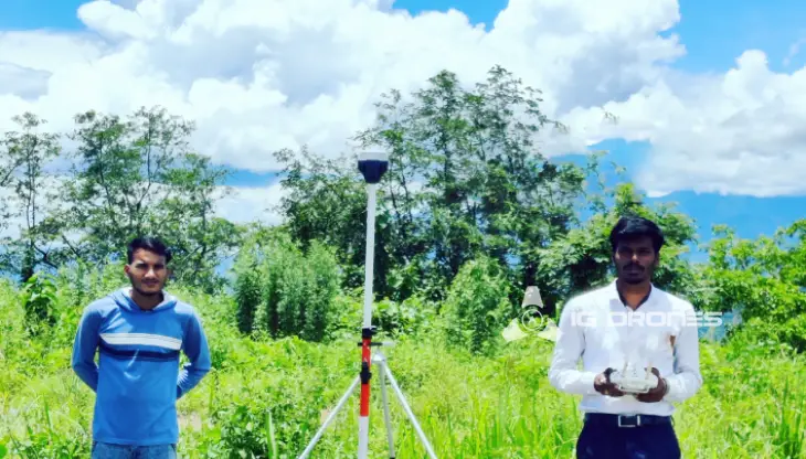
Aerial Drone Surveying, Mapping, and Inspection services are offered by IG Drones throughout India. Land surveying, aerial surveys for land management and development, land slope monitoring, stockpile volumetric measurements, smart city design, greenfield project mapping, and other fields are all areas where we excel. IG Drones prioritises quality and, as a result, routinely provides highly accurate topographic maps with centimetre-level precision. Drone Data Processing is the newest trend in geospatial technology, with drone applications spanning a wide range of industries. High-end surveying drones and a team of skilled licenced pilots help our clients acquire their deliverables faster. Using Artificial Intelligence and Machine Learning, we are able to achieve up to 99 percent accuracy in Volumetric Measurements, Crop Yield Estimates, Damage Detection, and other areas. This motivates clients to make faster decisions and, as a result, helps them produce better results from Drone Survey, Mapping, and Inspection.


Talk to our team if you have any questions about drone surveying for your industry.
Contact Us for Drone Services in India Contact UsIG Drones provide specialist drone services at height and difficult to access areas across India. Technical end-to-end solution to help you ease your operation. Capture the smallest of details with ease. Raise your operational standards & Imagine more with us. Imagine Inspire Innovate.
