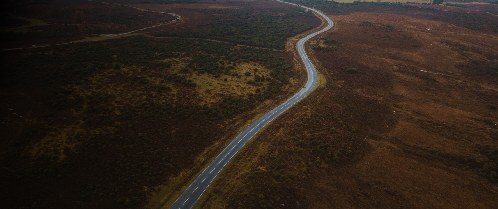

India's 1,15,435 km of national highways face challenges in construction and monitoring due to traffic and traditional methods. Despite a 15,000 km target for 2016-17, only 8,200 km were completed. To expedite and ensure transparency, the Indian Prime Minister proposed using drones for construction monitoring.
IG Drones improve road and bridge monitoring with geospatial products. Invent Grid offers tools for detecting defects, aligning dividers, and identifying structures and power lines.
Simplify topographic surveys for land management & planning
Higher speed and accuracy than conventional inspection methods
Detailed models of site topography
Streamline workflows in significantly less time in inspecting faults and damages
Highly accurate distance and surface measurements
Relatively less time & lower costs as compared to conventional methods
Condition Monitoring of Bridge powered by AI
Thermal Imagery to provide meaningful insights


India’s leading developer of AI-powered drones and anti drones systems, engineered for modern warfare. Built in Bharat, our mission-ready solutions deliver aerial superiority and battlefield resilience across global defense theatres.
Copyright © 2025. All Rights Reserved By IG Drones.
Defense Technology Built for Bharat. Battle-Proven for the World
