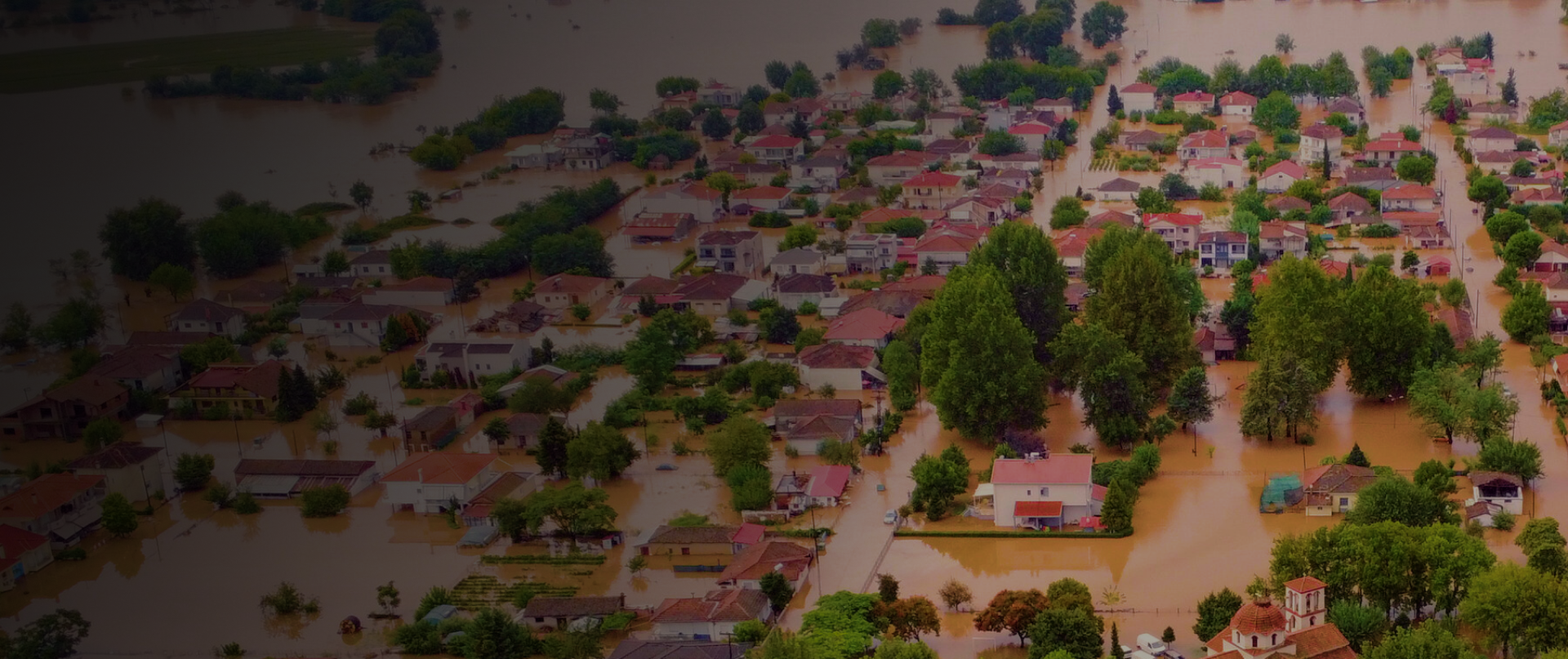
IG Drones provide rapid, cost-effective mapping of disaster areas, outperforming traditional methods. They pinpoint damage hotspots for real-time relief, aiding in situational awareness, damage assessment, and survivor search. A new report highlights drones' value across all disaster phases: prevention, preparation, response, and recovery.
Superior endurance & high-functioning drones for real-time information of the on-ground situation
Live drone-enabled video survey to pre-empt any possible dangers
Rapid Assessment of the damaged infrastructures
Smart Visual Analysis powered by AI
Faster, More Accurate Inspection Methods
Planning rescue routes for stranded victims


India’s leading developer of AI-powered drones and anti drones systems, engineered for modern warfare. Built in Bharat, our mission-ready solutions deliver aerial superiority and battlefield resilience across global defense theatres.
Copyright © 2025. All Rights Reserved By IG Drones.
Defense Technology Built for Bharat. Battle-Proven for the World
