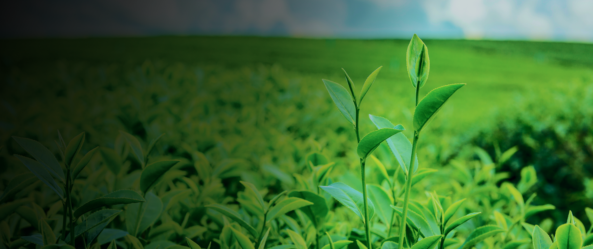

IG Drones quickly survey vast areas, detecting crop stress and aiding in precise land measurement, crop classification, and harvest planning. In India, over 35 drone startups are advancing agricultural drone technology and affordability.
IG Drones offer growers and researchers quick crop scouting, stress identification, and treatment planning. High-resolution RGB cameras detect early crop health issues, reducing costs and increasing yields. Drone data generates efficient treatment maps, complementing other agronomic tools.
Faster & steadier flights for crystal clear picture
High-grade soil & contour reading from the sky
In-depth situational analysis of fungal infestation
Mapping of low-lying areas for irrigation planning


India’s leading developer of AI-powered drones and anti drones systems, engineered for modern warfare. Built in Bharat, our mission-ready solutions deliver aerial superiority and battlefield resilience across global defense theatres.
Copyright © 2025. All Rights Reserved By IG Drones.
Defense Technology Built for Bharat. Battle-Proven for the World
